Civil Engineers, Land Surveyors, & Land Use Planners
Since 1982

Atlantic Engineering & Survey Consultants, Inc. was founded in 1982 with the goal of providing accurate data for the planning, designing, and construction management of projects in both the residential and business communities. In addition to our surveying capabilities, we provide a full range of civil site engineering and land planning services. These services are coordinated through an innovative and energetic staff representing the disciplines of Civil Engineering, Land Surveying, and Land Planning. These specialists, with over 90 years of combined experience, have the expertise to evaluate and coordinate the complexities of integrating the best use of our limited natural resources with the stringent regulatory requirements of today’s society.
A Passion for Creating Spaces
Our comprehensive suite of professional services caters to a diverse clientele, ranging from homeowners to commercial developers.
What Does a Land Surveyor Do and How Do They Do It?
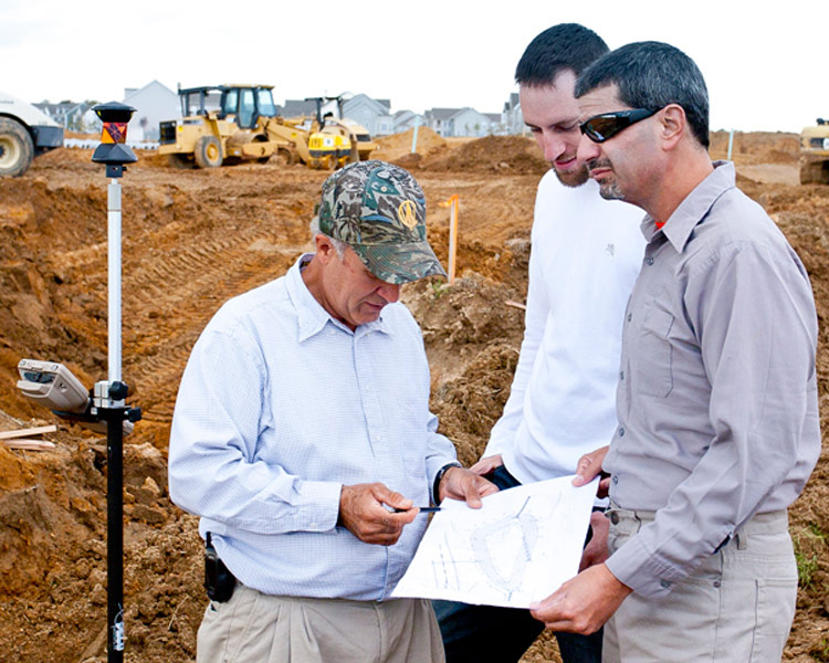
Land surveyors perform a variety of measurements dealing with ground, air and water surfaces. The purpose is to accurately collect data in order to establish boundaries necessary for planning, designing or construction management. These measurements often help to establish land ownership or are needed for legal documentation. A land surveyor will also research previously recorded data and compare that information with their own measurements.
Surveyors rely on mathematics, physics, engineering and the law to guide them in their craft. Equipment that might be used by a surveyor includes: total stations, robotic total stations, GPS receivers, prisms, 3D scanners, radios, handheld tablets, digital levels, and surveying software.
When is it Necessary to Hire a Surveyor?
Typical Issues include:
- Fences may not be where you think they are
- Ingress/Egress issues – road is not in an easement
- Incorrect acreage (square footage)
- Encroachments (by others onto your property or vice versa)
- Conformance with setbacks & current zoning that affect future additions
- Easements of record may limit/ affect current & future use
- Easements that should be of record and are not
- Slope Restrictions
These are a few of the reasons to hire a well educated and experienced Professional Land Surveyor (PLS). A good PLS should help you save time and money while hopefully maintaining neighborly relations.
A PLS can help isolate, understand and correct Title Issues. A PLS can provide a myriad of technical solutions to resolve title issues including Easements, Lot Line Adjustments, Certificate of Compliance, Record of Survey and Mediation Support & Expert Witness.
Most issues can be resolved out of court by working with a team composed of Client, PLS, Title Company and in some cases a Client Attorney.
In some cases a Survey will reveal Title Issues that no one knew about.
What is a Vernal Pool?
A seasonal body of standing water that typically forms in the spring from melting snow and other runoff, dries out completely in the summer, often refills in the autumn, and provides an important habitat for many plants and animals, such as frogs, salamanders, and turtles.
“Sometimes I imagine a surveyor a 100 years from now reading my plans, retracing my boundaries, and finding the monuments that I set. It’s an honor to make a mark in history like that.”
Mark Mason
